
Erie ZIP Directory Coverage
This postal orientation table uses the research-facing descriptions for standard delivery areas that serve the City. It is not a complete mailing list or an assertion that every 165xx designation is a City neighborhood. USPS is the source for a currently deliverable address. The table keeps the research descriptions intentionally broad and flags the postal areas where a separate jurisdiction check is most important.
| ZIP Code | Areas Covered | Post Office | Notes |
|---|---|---|---|
| 16501 | Central and downtown Erie postal area | Verify exact delivery point with USPS | Includes civic and commercial geography as well as other addresses |
| 16502 | West-central Erie postal area | Verify with USPS | Postal geography can cross locally used neighborhood labels |
| 16503 | North and east-central Erie postal area | Verify with USPS | Confirm street-level delivery |
| 16504 | Central-east and southeast Erie postal area | Verify with USPS | ZIP alone does not assign ward, school, or taxing district |
| 16505 | West and northwest Erie postal area | Verify with USPS | Check an address-level response before display |
| 16506 | West and southwest Erie with nearby regional context | Verify with USPS | Delivery context can extend outside City limits |
| 16507 | Bayfront and Front Street postal area | Verify with USPS | Public and cultural geography does not support a resident inference |
| 16508 | South-central Erie postal area | Verify with USPS | Check the individual address and City boundary separately |
| 16509 | City-edge and adjacent-municipality postal context | Verify with USPS | Do not equate this ZIP with the City boundary |
| 16510 | East and northeast Erie with nearby regional context | Verify with USPS | Confirm both delivery and municipal jurisdiction |
| 16511 | Outer east and northeast City or regional postal context | Verify with USPS | Do not generalize from the ZIP label |
The reviewed research did not verify every specialized, institutional, or post-office-box 165xx designation as City geography. Do not add one to a map or directory merely because it shares the first three digits. A live USPS response for the supplied address is the needed final check.
Start Erie Postal Verification at USPS
The USPS postal lookup is the final validator for postal formatting. Its documented modes support a lookup by address and a city-by-ZIP route. For an address search, the available fields include company, street, apartment, city, state, and ZIP. USPS returns postal information for the location provided. It does not verify that a person or company is connected to that address.
| By address | Supply the complete location details needed for a postal delivery-format response. |
|---|---|
| By city and state | Use a city and state route to orient a ZIP question, then confirm a precise delivery point. |
| By ZIP | Use the ZIP mode for postal reference, not as proof of a City boundary or a person’s residence. |
| Result scope | A USPS response helps format and route mail. It does not settle parcel, owner, identity, or municipal-jurisdiction questions. |
Record the address form supplied to USPS and the date checked. If the returned postal format conflicts with an older directory, parcel, or map description, preserve both source forms. The difference may reflect the sources’ dates and purposes rather than an error that can be silently corrected.
Read Erie Postal Area Orientations
The 16501 through 16511 sequence is a City-oriented orientation aid, not a boundary map. Central, west, east, Bayfront, and outer-area labels are broad descriptions from the research table. They make it easier to choose a starting point, yet they do not give a street-level answer. Outer and edge areas, especially 16506, 16509, 16510, and 16511, require a separate USPS and jurisdiction check before an Erie claim is made.
Postal areas may cover public facilities, commercial places, and addresses outside a reader’s expected neighborhood name. A City postal directory should therefore use the label as a routing clue. It should not transform a postal region into a list of people, owners, City wards, taxing districts, or service eligibility.
Note: A precise street address is more reliable than a broad ZIP label for deciding which records office or parcel source applies.
Use Erie Parcel Records with ZIP Results
Once USPS has confirmed a delivery format, Erie County’s Property Tax Search can help research a specific place. Its address form asks for house number, street direction, street name, and match modes. Erie County instructions say to omit the street suffix and enter a direction where it applies. The public portal also routes to parcel number, recent transfer, and parcel-map functions. It is not documented as a ZIP-wide person or owner lookup.
This local search detail matters when a ZIP result has narrowed a question to one address. Enter the property address in the County’s required format, preserve the returned situs form and parcel reference, then use the parcel map or Erie County GIS context for geography. The public base view does not display owner information without a qualifying registered account and payment. A parcel result describes a place, not a current resident.
Find Erie Residents by Postal Area
A ZIP label cannot run a public Erie resident search by itself. The responsible workflow begins with an address or a record type, then uses the postal result only to confirm delivery context. The Erie County property portal’s documented address and parcel inputs are place-oriented. Erie County GIS and GeoHub provide public map and data context, but the reviewed landing page did not establish fixed parcel-viewer controls or a ZIP-based resident search. Treat that gap as a limit, not an invitation to infer names.
- Use USPS to verify the full address and ZIP for the exact delivery point.
- For a place question, enter the address into the Erie County property search using house number, direction when needed, and street name without the suffix.
- Preserve the returned situs form, parcel identifier, taxing context, and source date rather than attaching a person’s name to the result.
- Use the Recorder, Assessment, GIS, or another named custodian only for the record type each one maintains.
- For a controlled election-record question, use the official Pennsylvania request route and Erie County Elections office, not a ZIP roster.
When the ZIP has narrowed a place question to a named street, the Erie street directory provides the separate address-by-address research method. It should not be replaced by a ZIP-only shortcut.
Erie Postal Boundaries and City Limits
Postal boundaries are routing boundaries, while Erie City limits and Erie County taxing jurisdictions are governmental boundaries. The two can differ. The research flags 16506, 16509, 16510, and 16511 for regional or City-edge context, but every address still needs its own USPS and jurisdiction confirmation. Do not assign a City location from a ZIP alone, and do not treat a City-formatted mailing address as proof of municipal location.
- ZIP
- A postal routing designation for a delivery area. It is not a municipality, property identifier, or identity record.
- ZIP+4
- An added postal detail that helps route mail more precisely within a ZIP area; it does not prove residence or ownership.
- PO-box ZIP
- A postal designation associated with post-office-box delivery. The research did not verify specialized Erie designations as City geography.
- Carrier route
- A postal delivery grouping. It is not a City boundary, parcel boundary, or public resident list.
Postal limit. A USPS match verifies delivery formatting for the supplied location. Check the City, Erie County, or parcel custodian separately when the question concerns jurisdiction or a government record.
Historic Erie ZIP Research Needs Dates
Older Erie addresses may use block descriptions, street directions, or cross streets rather than present postal logic. Hagen’s directory research has examples tied to Myrtle, Eighth, Seventh, Sassafras, street sides, and a 1912 State Street block. For an older address, retain the original wording, compare the relevant Erie directory edition and a dated Sanborn map sheet, then use a deed legal description or documented map comparison before associating it with a current parcel.
No comprehensive official Erie street-renumbering table or municipal street-name-change register was located in the reviewed research. A current postal code should not be projected backward onto a historic reference. Mark a possible connection as unverified until a map, deed, legal description, or official municipal record supports it.
Erie Postal Results Do Not Identify People
The Pennsylvania Department of State business-record page illustrates a similar source-boundary rule. It routes entity-name, entity-number, and official record requests for business filings. It is not a postal-area resident record. A postal result should not be joined to an entity filing to create a claim about a person’s address or identity.
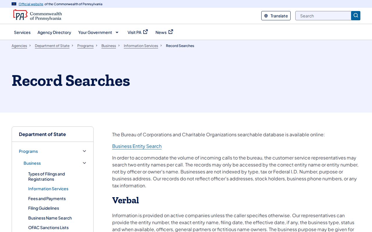
Keep the source label with the result: USPS for postal delivery, Erie County property tools for a place, Recorder records for documented instruments, and Department of State records for entities. Those boundaries make an Erie postal directory useful without overstating what any one search can answer.
Verify Specialized Erie Postal Claims
Special postal designations need direct confirmation before they are described as part of Erie geography. The research did not obtain a machine-readable complete Erie delivery list from USPS or verify every institutional or post-office-box 165xx designation. Use USPS for the actual address, then contact the responsible provider or government office when a service area, jurisdiction, or record source needs confirmation. A wide postal label is not a substitute for that check.
The Pennsylvania professional-license verifier is another official tool with a purpose that must remain separate from postal research. It is for State credential and status context, not an address roster.
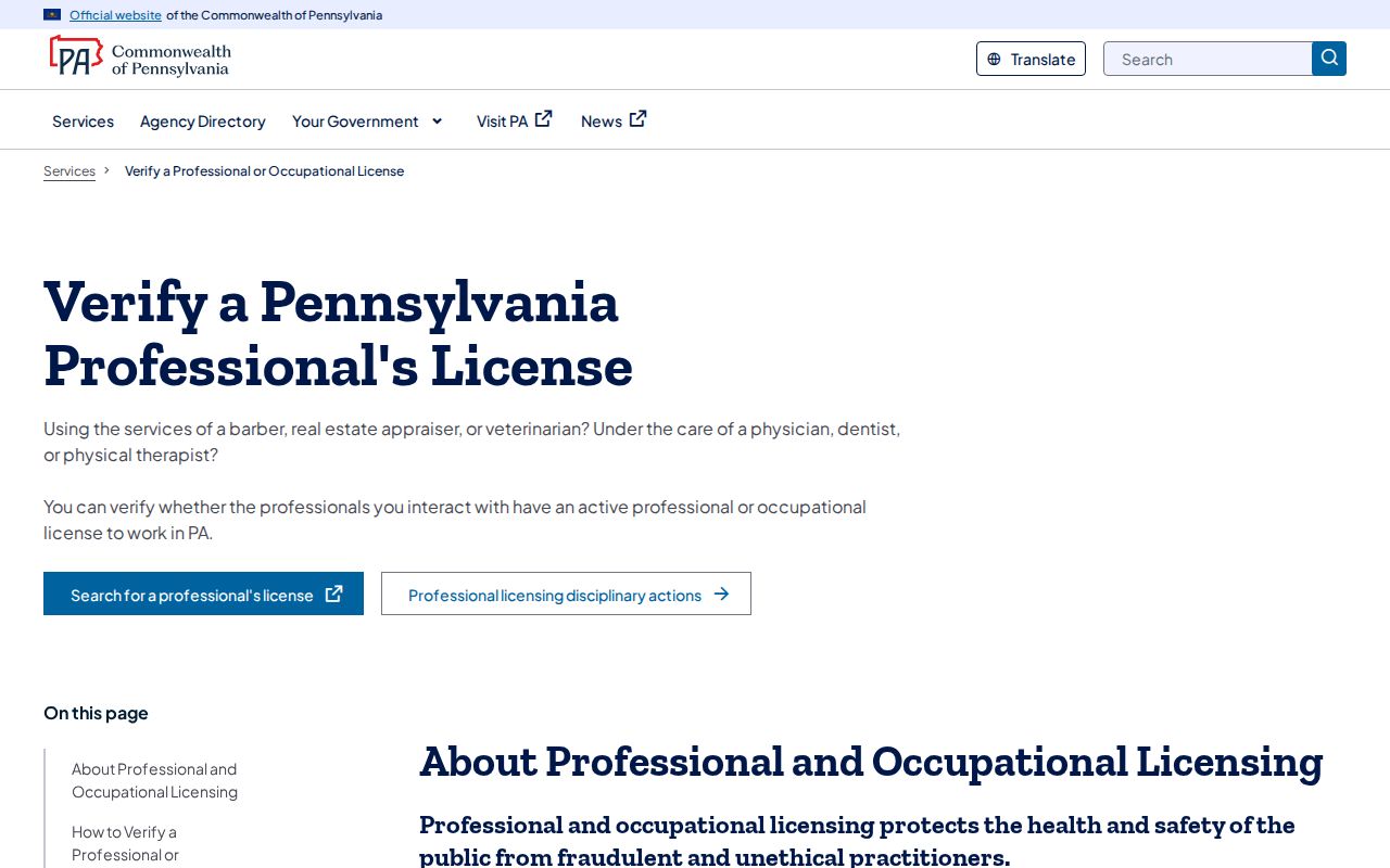
Using an official source for its stated task avoids false connections between an Erie postal code, a license record, a business record, and a resident. If the source does not answer the question, record the gap and use the correct custodian rather than combining unrelated data.
Note: The Erie postal directory is an orientation tool, so every current delivery or boundary claim still needs source-specific verification.