
Erie Neighbors Block Sources
Records around an Erie block should be read by purpose. Erie County’s public Property Tax Search can place an address in a parcel, property and map workflow. Erie County GIS and GeoHub provide map and data context. ECPL and the Library of Congress can add dated historical context. The City’s historic-resources material helps describe a survey or planning context. None of those systems is a verified current-neighbor directory. An address should remain a place reference unless an official source supports a narrower, time-bounded conclusion.
| Erie block source | What it can establish | Access condition |
|---|---|---|
| Erie County Property Tax Search | Address, parcel, taxing/property context, transfer and map routing | Public base search; owner details are gated |
| Erie County GIS / GeoHub | Public map and data context for a place | Public landing page; live app controls were not verified |
| ECPL Heritage Room | Dated directories, maps, newspapers and census research leads | On-site and collection-specific access conditions |
| City Historic Resources Survey | Historic-resource survey and planning-area context | City place-history source, not title or people data |
| Pennsylvania registration status | A specific individual’s official status route | Not a public block roster |
The open Erie County property pathway must not be described as an owner lookup. Owner information requires qualified registration and payment, and Erie County’s correction form treats property description, owner and mailing address as different fields. A mailing address is not automatically a situs address. Map adjacency is only a geographic observation; it does not establish common occupancy, ownership, family connection or voter relationship on an Erie block.
Start Erie Neighbor Research With Place
Use an Erie street address as a search key for a place, and preserve what the Erie County returns. The Property Tax Search accepts a house number, an available street direction and a street name, with Equals, Begins With and Contains matching. Erie County instructions say to omit the street suffix and include a direction where applicable. The parcel route needs exactly 14 numeric characters without spaces. Record the input as entered and the returned situs form separately, because a search form and an official display can differ.
That small distinction prevents a large error. A particular address might be a situs address, a mailing address, a legal description or a historical description. None should be silently converted into a claim about a person. For a whole named street and its Erie County record route, use the Erie street directory; the block approach stays focused on geographic context around one supplied address.
Note: Add a source date to every address form before comparing it with older maps or directory language.
Map an Erie Block Carefully
The Erie County Property Tax Search links address research to Parcel Map material, and the Erie County describes GIS/GeoHub as public map and data context. That is enough to orient a block without making a personal roster. The reviewed GIS landing page did not confirm a fixed parcel viewer, layer list, selection control, export tool or adjacent-parcel feature. It would be inaccurate to promise those controls. Use the current public app only after checking it live, and treat any nearby-parcel observation as physical geography rather than evidence about people.
- Enter the supplied address in the Erie County property search and preserve the returned place and parcel information.
- Use the linked map route or GIS/GeoHub context to understand the address’s position and visible geographic relationship to the block.
- Keep parcel identifiers and physical adjacency only when needed for a map research question, without attaching names or mailing information.
- For historic context, compare a dated directory or map source and label its year, wording and limitation.
Legal ownership and recorded-document interpretation remain with the Assessment and Recorder offices. The map is a helpful orientation layer, not legal title. When parcel and historical street references disagree, retain the conflict and seek a deed legal description or documented map comparison rather than merging the records.
Erie Neighbors and Address Limits
Nearby addresses carry different meanings. An Erie County form can contain a property description, owner field and mailing field, while a public map route may only support a spatial observation. The open property path does not unlock the owner field. Do not use a mailing field to infer who is physically at a location, and do not use a parcel result to infer a current resident. Those limits matter most when research starts with a map because maps make closeness visible without proving any personal relationship.
A careful note identifies the source class, the date, the field and the access limit. “Adjacent parcel observed in Erie County map context” is a defensible place statement. “Neighbor identified” is not supported by that observation. If an underlying parcel or mailing record needs correction, use Erie County’s Property Record Correction form through the responsible custodian.
Erie Neighbors in Dated Sources
Historic Erie block research benefits from sources that retain their time labels. ECPL’s Heritage Room holds Erie city directories beginning in 1853, newspaper microfilm from 1820 through 2018, census material from 1800 through 1930, and maps and atlases. A directory may give a period street or block reference; a newspaper may provide local chronology; a map may show a dated physical layout. ECPL’s collection is on-site and noncirculating, and its published holdings do not promise every annual directory edition.
Do not assume a reverse or criss-cross directory for the block. The research found no confirmed public reverse-directory run or exact coverage years, so the appropriate next step is to ask the Heritage Room about a particular edition. A period listing is not current occupancy. Keep old street directions, side-of-street references and cross-street language intact before testing any connection to a current parcel.
Erie Block Historic Context
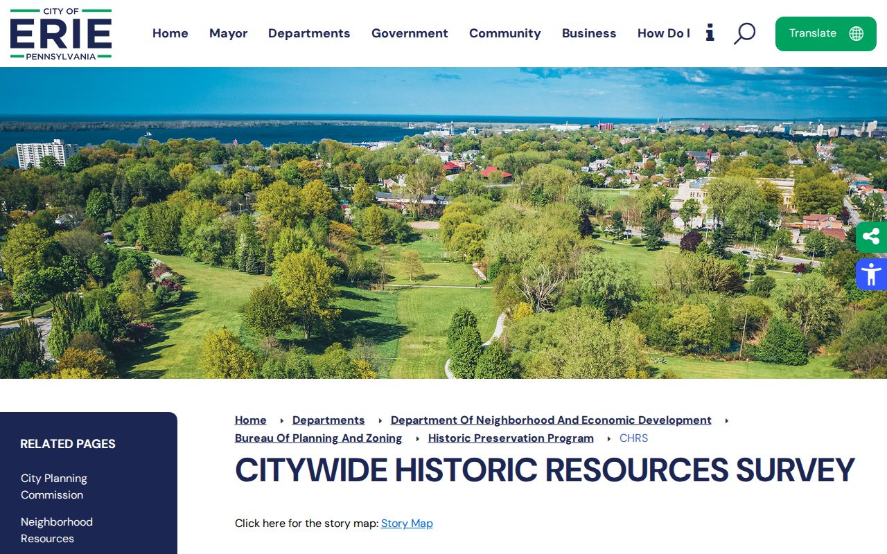
The City of Erie’s Historic Resources Survey offers a block-scale source for the built environment. The City says its citywide work considers resources 50 years old or older and identifies survey or planning attention in areas including Bayfront, Downtown, Pulaski Lighthouse, West Bayfront, 12th Street, East Bayfront, Trinity Park and Little Italy. That vocabulary can help locate a historic-context question. It does not establish a landmark designation, title, current condition, ownership or who lives nearby.
The City historic-resources page describes the survey’s purpose and citywide context.
A survey entry or a neighborhood label should be cited with its City source and date. It is a place-history lead, not a personal record. The City’s permit-process material identifies departmental roles, but no City-operated public permit-name or address search with documented fields was found, so requests for a defined municipal record belong with the appropriate City office.
Note: A historic-resource reference becomes stronger when paired with a dated map or recorded description of the same place.
Erie Civic Record Boundaries
Pennsylvania’s registration-status route is for a specific individual’s status check. It is not a street or block search, and adjacent parcels do not show voter presence. The Commonwealth also supplies a formal voter-list request form with record categories, payment and a statutory use certification. That is a controlled election-record process, not authorization to create a block roster or republish an export. Erie County Elections and Voter Registration is the local office for precinct and official request questions.
| Official source route | Appropriate block-related use | Not supported |
|---|---|---|
| Erie County property and GIS context | Place, parcel and map orientation | A current-neighbor identity list |
| State registration status | A specific individual’s official self-service status path | A voter search by street or nearby parcel |
| Formal voter-list request | A statutory request subject to certification and official handling | Publication in a neighbor directory |
| Commercial neighbor-lookup category | No official-record role in this research process | A substitute for custodian records or a personal profile |
Official sources and commercial lookup categories answer different questions. A source label, date and access note make that difference visible and avoid turning civic material into an unsupported connection among people on an Erie block.
Erie Neighbor Community Sources
Community history can be valuable, but the reviewed official and institutional sources did not provide a comprehensive, verified public directory of Erie neighborhood associations, congregations, alumni groups or private archives. A contact roster cannot be verified until its repository, coverage dates and permission terms are established. That gap is meaningful: a private list should not be treated as a public neighbor record just because it concerns a block.
| Community source type | Verified Erie finding | Responsible next route |
|---|---|---|
| Neighborhood association directory | No comprehensive stable public index located | Confirm repository and permission terms before use |
| Congregational or community archive | No single verified collection directory located | Contact the institution that describes a specific collection |
| Historic place research | ECPL, Hagen and City sources document place-history routes | Use dated, source-specific material only |
Erie Neighbor Corrections and Safety
When a map or address statement is wrong, the correction should identify the source, field, date and authoritative support. For an Erie County parcel or mailing record, Assessment’s correction route is the appropriate administrative path. Court, vital and election records have their own custodians and rules. A credible safety concern should lead to prompt suppression of a disputed public display while the source and linkage are reviewed, not to a request for identity documents through a public form.
Pennsylvania’s Address Confidentiality Program is the official protection route for eligible participants who need an alternate mailing address. The program should be linked without asking anyone to explain a safety circumstance. The research standard is simple: do not collect or combine full birth dates, signatures, identification numbers, completed applications, protected contact information or restricted records.
Privacy Limits for Erie Neighbors
An Erie block is not a profile. Property, map, archive, voting, court and safety systems have different purposes and access boundaries. A public route does not authorize copying results into a new directory or attaching them to an address. The safe result is sometimes “not found in the reviewed source,” “office or request required,” or “restricted by law.” Preserve that limit instead of filling in a name, relationship or current-status claim from unrelated records.
Lawful use. Erie block research is for lawful place history and civic curiosity. Pennsylvania law prohibits stalking and harassment; do not use any record or map material to watch, threaten, contact or target another person.