
Walk an Erie Street Directory Trail
Use an address-first walk for an Erie street directory question. The Erie County Property Tax Search can establish the place and parcel context. The Erie County Parcel Map and GIS/GeoHub provide geographic orientation, not an identity result. A recorded-land question then belongs with the Recorder of Deeds, which is the custodian for instruments. For an older street question, keep the original address expression and compare period directories, newspapers, and map editions before connecting it to a present property record.
Do not skip the source date. Erie street research often crosses City, Erie County, and postal geography, and an address can be expressed differently in a map, directory, legal description, or property screen. A parcel finding does not prove a current occupant. Map adjacency does not prove a shared household, mailing relationship, or any voter relationship.
- Enter the house number, direction when applicable, and street name in the Erie County property search.
- Record the returned parcel number, displayed address form, taxing context, and access date.
- Open the Parcel Map or Erie County GIS/GeoHub route for geographic context, while treating its changing application controls as unverified.
- Use the parcel or legal-description details to request the relevant Recorder instrument or use authorized INFOCON access.
- For a historic address, retain the period street wording and compare ECPL, Library of Congress, and Hagen sources by date.
Search Erie Streets in the Erie County Portal
The Erie County Property Tax Search is the documented public entry for a current Erie street. House number and street name are its central address inputs. Street direction is available for addresses where it matters, and the Erie County instructs researchers to omit a suffix such as Street or Road. The page also routes to a parcel-number path, recent transfers, and a Parcel Map. Use the returned form as a source citation, not as a normalized resident record.
| Search field | Observed control | Use in an Erie street directory |
|---|---|---|
| House Number | Number with match mode | Start with the property number provided by the source. |
| Street Direction | Optional direction | Use when the Erie address requires it. |
| Street Name | Name with match mode | Enter the name without the suffix under Erie County guidance. |
| Parcel Number | Separate single-field route | Enter exactly 14 numeric characters with no spaces. |
The exact 14-digit parcel rule is a practical Erie detail. Save the parcel identifier alongside the entered and returned address forms, rather than treating it as a person identifier. The public base result supports place, tax, transfer, and map context. It does not display owner information without the Erie County's separate eligible professional registration and payment condition.
Keep Erie Street Maps Geographic
Erie County GIS describes its maps and data as publicly available and routes users to GIS/GeoHub. The GIS office is at 150 East Front Street, Suite 300, Erie, PA 16507, and publishes 814-451-7344. For an Erie street directory, that route is useful for boundary checks, spatial context, and the parcel-map handoff. It does not replace Assessment for property context or the Recorder for legal document interpretation.
The reviewed GIS landing page did not establish a fixed parcel-viewer URL, a stable layer list, or controls for selecting adjacent parcels, exporting, or buffering. Do not describe a live map control that has not been confirmed. Parcel adjacency is only a geographic observation. It cannot establish common occupancy, mailing, ownership, family, or voter relationships.
Trace Erie Street Instruments at the Recorder
The Erie County Recorder of Deeds, at the Courthouse in Room 121, records deeds, mortgages, satisfactions, powers of attorney, leases, UCC filings, and related instruments. Its published phone is 814-451-6246. Recorded documents are indexed and scanned and may be viewed or copied through the office. The linked INFOCON gateway describes itself as a cooperative, fee-based subscriber service. The public landing does not reveal Erie-specific coverage dates or index fields, so that gap should remain visible.
For a precise address trail, take the stable place details with you: parcel reference if present, legal-description wording, document type, recording date, grantor and grantee spellings, book and page or instrument number, and the source copy's page count. If online access is unavailable, use an in-person request or the Erie County's published paid staff-search route. Neither route supports a claim about who is currently at an address.
The Erie County Recorder of Deeds page identifies the instrument categories and Erie County custodian route.
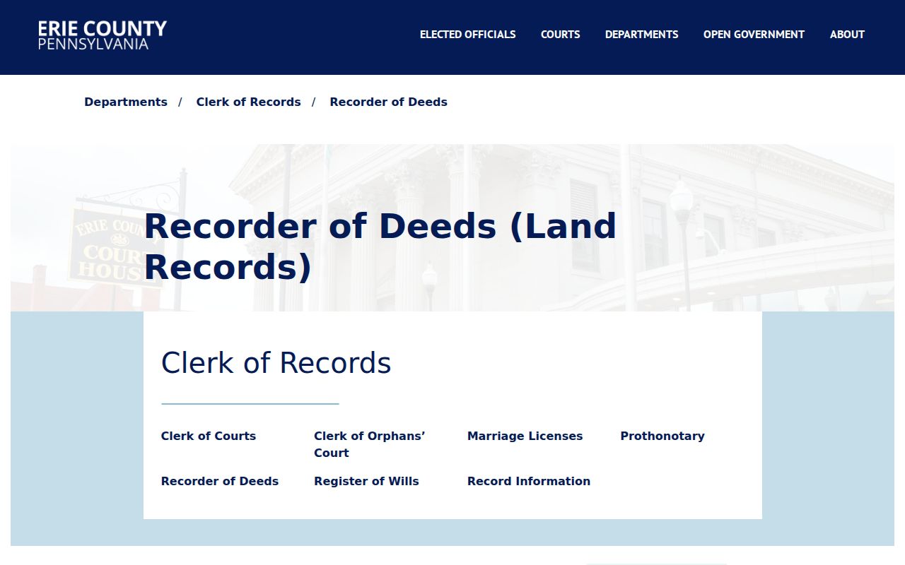
The Recorder source provides the next documented step after an Erie parcel or legal-description question.
Erie Street Directory Record Coverage
An Erie street directory draws from address-keyed systems that answer different place questions. The Erie County property portal anchors an address to a parcel and taxing context. The Parcel Map and GIS/GeoHub offer map context. The Recorder controls instruments. ECPL, Hagen, and the Library of Congress add historical street and building context. City permit materials show that several departments participate in review, but no official City search interface with confirmed address or name fields was located. Use the City office or a defined request for a specific municipal record.
| Erie address source | Custodian | Street-related use | Access boundary |
|---|---|---|---|
| Property address search | Erie County Assessment | Parcel, address form, taxing, transfer, and map routing | Public base search; owner display is gated. |
| Parcel Map and GIS/GeoHub | Erie County GIS | Spatial and boundary context | Public maps; individual live-app controls were not confirmed. |
| Recorded instruments | Recorder of Deeds | Document citation and legal-description trail | Office viewing/copies or fee-based subscriber access. |
| Historic directories and newspapers | ECPL Heritage Room | Dated street, block, and place references | On-site and collection conditions vary. |
| Municipal permit process | City departments | Defined-record request route | No verified public search interface was located. |
These sources chain through place identifiers, not through an implied household list. A parcel number or legal description can connect a property search to a Recorder request. A dated map or directory can explain historical street wording. A formal Pennsylvania voter-record request has statutory and certification limits and must not be republished as a street roster. For the historical collections themselves, the separate Erie city directory route is the appropriate shelf-level guide.
Read Erie Street Directions by Date
A current Erie street directory search can fail when it erases the source's original wording. Hagen History Center notes historic Erie references that use a street side and cross streets, including descriptions tied to Myrtle, Eighth, Seventh, and Sassafras, as well as a 1912 State Street block context. Transcribe the street name, direction, side, block, and cross-street language first. Then compare it to the property record, legal description, or a dated map with a clear note about what remains unverified.
The Library of Congress Erie Sanborn gallery adds independent map editions from 1888, 1900, 1921, and 1950. Record the edition, volume or sheet, and block face used. A Sanborn sheet can show historical building and street context at its map date. It is not a current parcel result or evidence of a person at the address. Erie has no comprehensive verified municipal renumbering table in the reviewed sources, so a cross-era match needs map, deed, or legal-description support.
Use Erie Historical Street Sources at ECPL
The Erie County Public Library Heritage Room at Blasco Memorial Library holds Erie city directories beginning in 1853, newspapers on microfilm from 1820 through 2018, maps and atlases, census material, yearbooks, and local-history databases. These resources can put a street description in its period and lead to the original newspaper or map source. They are not a current Erie street directory. Much of the collection is noncirculating, on-site, or subject to library-card access conditions, so check an edition or database before making the trip.
Research can proceed even without a verified reverse directory. ECPL's known collection gives dated alphabetical directories and local materials, but no public criss-cross directory run or exact years were confirmed. Ask Heritage Room staff whether a particular reverse-by-address source exists for the needed period rather than claiming it does. Hagen's appointment-based research and home-history service are further options when the task needs property chronology, title research, property description, year built, or neighborhood context.
Access Erie Street Instruments with Care
INFOCON is the Recorder-linked online gateway, but the public entry identifies a sign-in and subscription context rather than an Erie-specific open index. Its operator describes a fee-based cooperative service. The reviewed public landing did not expose Erie field labels, coverage dates, result columns, or an accessible instrument search form. That means an Erie street directory should not invent an online chain-of-title search experience. Start with the Recorder's office and ask about the appropriate copy or staff-search path for a defined document.
The INFOCON Erie County Access System screenshot is included as an access-condition reference, not as a claim that the displayed landing page provides a public Erie street search.
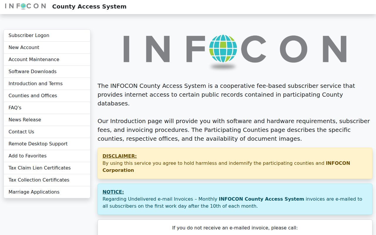
When the available online route is gated, an office request with a document type, date range, and place citation is a more accurate next step than inference.
Define Erie Street Record Terms
Street research often becomes unreliable when the source terms are flattened into one address label. Erie County's property and correction material keeps separate fields for parcel, property description, owner, and mailing address. Recorder documents add legal-description wording and document citations. Keep those labels as they appear in the source. A street directory can describe how they are used without converting administrative data into a statement about a person.
- Parcel
- An Erie County property identifier used in the property and tax record path.
- Situs address
- The physical property address in a property context, distinct from a mailing address.
- Plat or map context
- A mapped place reference that helps orient land but does not replace a legal instrument.
- Legal description
- The land-identifying wording in a document, especially useful when historic street terms differ.
Use the source label and date in every note. If an old source gives only a cross street or a block, record it that way until a dated map or legal-description comparison provides support for a connection.
Separate Erie Streets from Postal Geography
USPS is the final official check for an address and ZIP format. Its lookup supports address and city, state, or ZIP modes. A postal response verifies delivery formatting for the supplied location. It does not verify municipal boundaries, ownership, or residence. An Erie street directory should keep City, Erie County, tax, and postal geography separate, particularly at city edges where a ZIP can extend beyond a City boundary.
The research identifies 16501 through 16511 as an Erie-oriented standard delivery-area set, with explicit caution about outer and specialized 165xx designations. No machine-readable complete delivery list or verification of every specialized code was located. Use the USPS ZIP Code Lookup for each exact address and do not use a ZIP label as a neighborhood, ward, school, or residency decision.
Ask Erie City Offices for Defined Records
City of Erie material shows that zoning, code, engineering or stormwater, and permit issuance have different municipal roles. It does not document a public City permit database with searchable name or address fields. A responsible Erie street directory therefore labels permit research as an office or defined-record request. It does not imply that a current permit history can be searched from a public web form.
For a historic place question, the Citywide Historic Resource Survey is a useful municipal context source. It concerns resources 50 years old or older and notes survey and planning areas including Bayfront, Downtown, West Bayfront, East Bayfront, Trinity Park, and Little Italy. It is not legal-title evidence, an owner record, or a population list. Pair it with the dated street source that supports the particular research question.
Resolve Erie Street Conflicts with Sources
An Erie address can disagree across a current property screen, an old directory, a Sanborn sheet, a newspaper notice, and a deed. That disagreement is a research result, not a reason to merge sources. Record the source address, source date, property or parcel number if supplied, legal-description excerpt, municipality, map edition or sheet, and document citation. Then identify the next custodian or archive source needed to test the connection.
The Erie County's practical sequence is clear: confirm the place, preserve identifiers, establish recorded-land context, compare dated historical sources, and use the proper custodian for court, vital, marriage, or probate records. A stopped trail is valid when a record is protected, a gateway is paid, an address match is ambiguous, or an official interface does not disclose the needed information.
Limits of an Erie Street Directory
An Erie street directory should not claim to show a current household, a protected mailing address, or a person-by-person street roster. The Erie County's base property search gates owner information. A mailing address is not a situs address. A directory listing is dated period evidence, and a parcel map only supplies geography. Pennsylvania's individual registration-status path is not a general people search, while the formal voter-list request route has statutory use limits. Court, vital, motor-vehicle, safety, and protected records carry separate access and redisclosure rules.
For a City permit or code question, the reviewed City material identifies departments and review roles but does not establish a public name or address portal. Use the City office or defined request route. For a protected address concern, use Pennsylvania's Address Confidentiality Program without disclosing a safety situation to a directory service. Correct an Erie County property record through the County's published form; other source records must be corrected through their own custodian.
Lawful use. Use Erie address records for personal, lawful research only. Pennsylvania's stalking statute, 18 Pa.C.S. §2709.1, supports a clear ban on threatening, tracking, contacting, or targeting any person.